Error loading page.
Try refreshing the page. If that doesn't work, there may be a network issue, and you can use our self test page to see what's preventing the page from loading.
Learn more about possible network issues or contact support for more help.

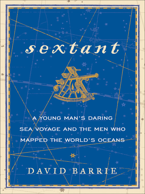
Sextant

A Young Man's Daring Sea Voyage and the Men Who Mapped the World's Oceans

ebook
1 of 1 copy available
Award–winning author David Barrie explores the history of the Sextant and the daring mariners who used it to explore, conquer, and map the world.
Since its invention in 1759, a mariner's most prized possession has been the sextant. A navigation tool that measures the angle between a celestial object and the horizon, the sextant allowed sailors to pinpoint their exact location at sea.
David Barrie chronicles the sextant's development and shows how it not only saved the lives of navigators in wild and dangerous seas, but played a pivotal role in their ability to map the globe. He synthesizes centuries of seafaring history and the brave sailors who have become legend, including James Cook, Matthew Flinders, Robert FitzRoy, Frank Worsley of the Endurance, and Joshua Slocum, the redoubtable old "lunarian" and first single-handed-round-the-world yachtsman. He also recounts his own maiden voyage, and insights gleaned from his experiences as a practiced seaman and navigator.
In the tradition of Dava Sobel's Longitude, David Barrie's compelling and dramatic tale of invention and discovery is an eloquent elegy to one of the most important navigational instruments ever created. Full of heroism, danger, and excitement, told with an infectious sense of wonder, Sextant examines a masterful achievement that changed the course of history.
  • Creators

  • Publisher

  • Release date

  • Formats

  • Languages

  • Reviews

    • Library Journal

      July 1, 2014

      Before John Hadley and Thomas Godfrey independently came up with designs for the quadrant--a predecessor to the sextant, a navigation tool that measures the angle between a celestial object and the horizon--navigation at sea was less than accurate. Spanish explorer Alvaro de Mendana, for example, mapped the Solomon Islands at the wrong location, and it was 200 years before they were "discovered" again. The sextant, invented in 1759, changed all that, allowing far more accurate navigation and cartography. Barrie, an experienced sailor and former member of the British Diplomatic Service, takes readers on a tour of the history of maritime navigation, focusing on the role of the sextant in guiding explorers and aiding their efforts to map the globe. He also recalls his own voyage across the Atlantic in 1973. In a wide-ranging discussion covering the principles of celestial navigation as well as the adventures of Captain Cook, Robert FitzRoy, Matthew Flinders, and others, the author offers a detailed picture of premodern sea travel. The epilog compares this form of navigation with today's GPS navigation systems, adding context for the modern reader. VERDICT This informative volume will appeal to maritime historians, sailing enthusiasts, and readers interested in celestial navigation.--Dawn Lowe-Wincentsen, Oregon Inst. of Technology, Portland

      Copyright 2014 Library Journal, LLC Used with permission.

Formats

  • Kindle Book
  • OverDrive Read
  • EPUB ebook

Languages

  • English

Loading